The B29 “Overexposed” crash site from Snake Pass

This Peak District plane crash site features in the excellent latest Rivers of London novel, “Amongst Our Weapons” by Ben Aaronovitch. It crossed my Instagram feed a week or so ago, and then after I started planning the walk I saw Manchester Finest had written up a walk, Bleaklow: Downed Warplanes, UFO Moorlands, and a Spot of Cake, that included this site only a few weeks back. Clearly I am in tune with the zeitgeist.

For me, the crash site was an opportunity to tempt my boy out onto a walk with me… and the hook worked. We had a lovely hike, about the right length for him, with plenty of time to picnic, poke things, and take it easy.

The route we followed was from Peak District Walks “Higher Shelf Stones Short Walk (+ Bleaklow Plane Crash Site) | 4-Mile Route“, thanks Becky.

Download file for GPS

…and now onto photos of the walk, many featuring The Boy.

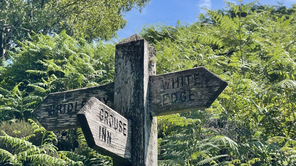
From the first section, along Devil’s Dike to Hern Clough:

A lovely lunch spot by a pool in Hern Clough:

An aerial view of the picnic

The crash site itself:

In Memory
Here lies the wreckage of B-29 Superfortress “Overexposed” of the 16th Photographic Reconnaissance Squadron USAF. Which tragically crashed whilst descending through cloud on 3rd November 1948 killing all 13 crewmembers. The aircraft was on a routine flight from RAF Scampton to American AFB Burtonwood.
It is doubtful the crew ever saw the ground.
Memorial laid by 367 Air Navigation Course of RAF Finningley on 12th November 1988.

I believe from reading around, that the wreckage on this site is more complete than many other sites. Wandering around it’s easy to identify parts of the plane.

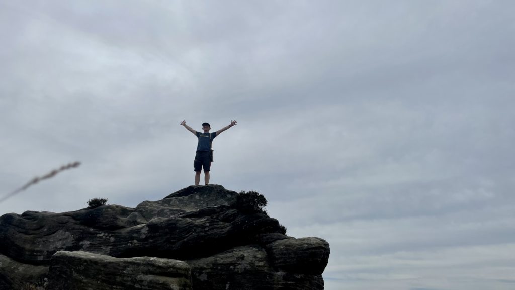
Onwards to Higher Shelf Stones and a mob of rams:

And finally the loop back to the Pennine Trail and the car on Snake Pass:

Pots & Pans from The Church Inn, Pobgreen

Walked this on 7 July, with a friend. It’s been about ten years since the last time I was up here. It’s a lovely walk: a steep climb at the start, but then you just bimble around from view to view on the (mostly) flat top.

The walk is from “The Pennine Divide” by Andrew Bibby, a really excellent pocket sized book of walks.

Download file for GPS
The view back on the way up, from Broadstone Clough
Looking over to the trig on Broadstone Hill

Looking over to the obelisk memorialising the dead from World Wars One and Two
Post-walk posing

Froggatt Edge and Padley Gorge

I decided to do this one yesterday, on the hottest day of the year so far. Perhaps not my most sensible decision. I further decided to take in a bit of Froggat Edge, so I could check out the stone circle, rather than sticking to cooler woodland paths! A fine walk, nonetheless. Padley Gorge is particularly beautiful, and would be fun paddling and scrambling with kids.

My route took me 14km (approx 8.7 miles) in 4 hours and 15 minutes, including a brief segment of getting lost in Haywood near Nether Padley (so perhaps don’t try following my GPS trail precisely).

Including The Fox House at the start, this walk offers stops at some nice pubs (The Grouse Inn and The Chequers Inn) and at the Grindleford Station Cafe.

Download file for GPS

Parking is at the National Trust at Longshaw, with on-road parking available nearby if you’re not a member and prefer to avoid the parking charge. The walk takes in several different landscapes, starting in some classic wooded National Trust parkland.

The stone circle on Froggat Edge is just off to the north of the path, nestled into the bracken.

I do love a gritstone edge.

Below the edge, and then again further down the path through Bee Wood to Froggatt itself, I found a few abandoned millstones.

The woodland path between Froggatt and Nether Padley, leading to Hay Wood, is charmingly bucolic but looks like it could get pretty boggy in wetter weather.

A 2CV retirement home?

The walk up through Padley Gorge was charming, lots of places to tuck yourself into, cool your feet, and while away some time.

Overall a great walk, and one I’d do again.

I might also try looping around Froggatt Edge, Curbar Edge, and, above and to the west, White Edge and Big Moor. There’s a couple more stone circles up there, and I do like an edge. Looks fun.

Lud’s Church and The Roaches

My walk on 7 June roughly followed Northern Stroll’s route.

Download file for GPS

While I was walking I kept crossing paths with a school group, and overheard the teacher telling them about the wallaby sightings in the woods and up on the roaches, you can read about this story (legend?) in “the English moor where wallabies roam“. Apparently these rocks are “Wallaby Rocks”.

Flying round Wallaby Rocks

Lud’s Church is an amazing natural chasm, and thoroughly recommended.

…and here’s the rest of my photos from the day.

A drone flight from west of The Roaches:

The last big feature of a walk full of features was The Hanging Stone:

The Hanging Stone

Count and sort in Google Sheets using QUERY()

When I’ve pulled some data into Google Sheets I often want a way to quickly chart the count of something, maybe it’s support tickets and I want to chart the incidence of particular tags or count tickets for each customer. In this situation I want a nice neat chart showing from ordered data.

Continue reading “Count and sort in Google Sheets using QUERY()”

Walkerwood Reservoir, Harridge Pike, and Wild Bank

I did this walk some years back and don’t remember it particularly fondly, but today it was just beautiful. The light was a low, golden, winter sunshine, and everything looked magical.

Download file for GPS

Next time I do this walk, where I turn up north towards Harridge Pike I’ll try the west side of Dry Clough rather than the east.

Use Ordnance Survey map OL1. Here’s the route stored on Ordnance Survey to load it into an app. It claims to be 591m total ascent, 9.9km in length, and it took me about 3.5 hours including eating lunch and messing around with a drone.

Panorama looking over to Boar Flat

…and naturally this was a great opportunity to play with my present to myself, a DJI Mini 2 drone…

Up over Brushes and Walkerwood Reservoirs
Flying down from Harridge Pike to the Walkerwood and Brushes Reservoirs below
A helix drone shot on Harridge Pike

In my ears

For a while now I’ve been meaning to post about these three great podcasts I’ve had on regular rotation for the last few months since starting running again. The blend is really working for me, and giving this mix some longevity: current affairs slanted to the serious (The Intelligence) and the curious (Kottke Ride Home), with a chaser of strategic commentary (Stratechery).

The Intelligence, from Economist Radio provides an informed liberal world view covering diverse topics from the possibilities and limitations of green venture capitalism, trials with K-Pop, the rise of Korean Trot, and Shinzō Abe’s legacy in Japan.

The Kottke Ride Home, gives me the cool things from the news today. The stories picked by the presenter, Jackson Bird, range from a recently discovered lava planet, how many holes does a straw have, the discovery of water on the moon, tardigrade sunscreen, and a little known history of transgender people.

The Stratechery Podcast from Ben Thompson’s Stratechery provides insights into strategy in the internet age such as Kurian’s helming of Google Cloud Platform to target the enterprise from inside Google, how Slack might successfully compete with Microsoft, and a great series of interviews with leaders like Jeff Lawson of Twilio, Jonah Peretti of Buzzfeed, and Stewart Butterfield of Slack.

None of them are too long and with the judicious application of 1.25x playback I can keep abreast of this trio on my lunchtime exercise and from and to dropping off and picking up my boy from school.

🌡 Log My Temperature – Siri Shortcut

Due to “reasons”, taking my temperature every morning has become commonplace. I’ve worked out a Siri Shortcut to log the temperature, check the data and alert me to changes. If you’re interested, and have an iPhone (the shortcut relies on the Health app, so I don’t think it will work on iPad), you can download the shortcut here:

Important: Because the shortcut reads from the Health app, and because that’s protected personal data, you need to run this shortcut on an unlocked phone or it just… silently fails (bad form, Apple).

The Shortcut runs the following actions:

  1. “Hey Siri, log my temperature”
  2. “What is it?”
    N.B. The answer is expected to be a number
  3. Get my Body Temperature from yesterday, and store it to use in later checks
  4. Log my answer from today as a Body Temperature data point
  5. Check the difference from yesterday, and tell me what the difference is if it’s +/- 1.5ºC
    N.B. This calculation will work with Fahrenheit, but you might want to change from 1.5 to whatever suits the Fahrenheight scale
  6. If the difference check above passes, simply speak the temperature

Let me know any enhancements, I’m happy to collaborate :)

P.S. I wish it was possible to export a Siri Shortcut in a kind of scripting format, so you could view it on a webpage… or maybe an oEmbed for Siri Shortcuts? That’d be cool.

On flexibility in achieving your vision…

I’ve been using a quote in roadmap presentations as a nod to the inevitability of change:

“No plan of operations extends with any certainty beyond the first contact with the main hostile force.”

– Helmuth von Moltke the Elder

Reading the Wikipedia page for Helmuth, I now learn he was the creator of a new method of directing armies in the field. Rather than directing all movements in detail, he relied on setting objectives and allowing subordinates freedom to execute within the general framework of the mission. This seems very close to the metrics driven, management by objectives that we see many modern product teams using. Dare I mention OKRs?

Here’s another nice quote, via Marty Cagan’s chapter on Product Objectives in his excellent book “Inspired“:

“Never tell people how to do things. Tell them what to do, and they will surprise you with their ingenuity.”

– General George Patton